Share South Boulder Road Area Plan on FacebookShare South Boulder Road Area Plan on X (formerly Twitter)Share South Boulder Road Area Plan on LinkedinEmail South Boulder Road Area Plan link
Project Description
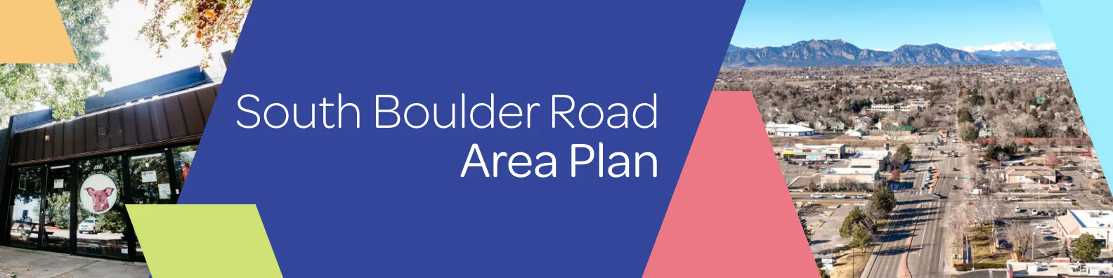
The South Boulder Road planning area is a place where people shop, work, play, and gather. We’re now asking the community to shape the next chapter: safer connections, more welcoming streets, and places that feel vibrant day and night. With many buildings aging and uses changing, this plan will turn ideas into action - so South Boulder Road Area Plan becomes easy to reach, fun to spend time in, and a place where local businesses and neighborhoods thrive.
This planning process is beginning in March 2026 and anticipated to go through early 2027. The plan will create a future vision for the area, along with the practical tools that decision-makers, businesses, and others need to achieve it.
Community Visioning Workshop - July 23
We invite you to join the City of Lafayette on Thursday, July 23rd to participate in the South Boulder Road Area Plan Community Visioning Workshop. This workshop will be an opportunity for community members to collaboratively discuss options, share ideas, and voice their preferences for the South Boulder Road area. Project team members will be available to answer questions and collect feedback.
Details:
When: Thursday, July 23 6-8 p.m.
Where: Confluence Small Business Collective, 75 Waneka Parkway, Lafayette, CO 80026. Free parking is available in the lot west of the building.
Who should attend: All Lafayette community members are welcome!
The South Boulder Road planning area focuses on the commercial and industrial area (approximately 250 acres) north and south of South Boulder Road roughly between Highway 287 on the west and including the current City Hall and vicinity to the east.
How Can I Get Involved?
Help shape the future of Lafayette’s South Boulder Road area. Pick the options that work for you:
Anytime
Follow the project page to get notified of new events as they’re scheduled (see “Subscribe” button to the right).
Share feedback in the questionnaire at the below
Share your ideas on a map of the planning area below
Project Timeline
Project Description
The South Boulder Road planning area is a place where people shop, work, play, and gather. We’re now asking the community to shape the next chapter: safer connections, more welcoming streets, and places that feel vibrant day and night. With many buildings aging and uses changing, this plan will turn ideas into action - so South Boulder Road Area Plan becomes easy to reach, fun to spend time in, and a place where local businesses and neighborhoods thrive.
This planning process is beginning in March 2026 and anticipated to go through early 2027. The plan will create a future vision for the area, along with the practical tools that decision-makers, businesses, and others need to achieve it.
Community Visioning Workshop - July 23
We invite you to join the City of Lafayette on Thursday, July 23rd to participate in the South Boulder Road Area Plan Community Visioning Workshop. This workshop will be an opportunity for community members to collaboratively discuss options, share ideas, and voice their preferences for the South Boulder Road area. Project team members will be available to answer questions and collect feedback.
Details:
When: Thursday, July 23 6-8 p.m.
Where: Confluence Small Business Collective, 75 Waneka Parkway, Lafayette, CO 80026. Free parking is available in the lot west of the building.
Who should attend: All Lafayette community members are welcome!
The South Boulder Road planning area focuses on the commercial and industrial area (approximately 250 acres) north and south of South Boulder Road roughly between Highway 287 on the west and including the current City Hall and vicinity to the east.
How Can I Get Involved?
Help shape the future of Lafayette’s South Boulder Road area. Pick the options that work for you:
Anytime
Follow the project page to get notified of new events as they’re scheduled (see “Subscribe” button to the right).
Share feedback in the questionnaire at the below
Share your ideas on a map of the planning area below
Join us Wednesday, July 23, 2026, from 6:00 - 8:00 p.m. at the Confluence Small Business Collective (75 Waneka Pkwy, Lafayette, CO 80026) for a community workshop on the future of the South Boulder Road Planning Area We'll share initial big ideas for land use, connections, parks and open space, and character, then break into small group discussions to hear what you think. Please RSVP below to reserve your spot.
Share July 23 Community Workshop RSVP on FacebookShare July 23 Community Workshop RSVP on X (formerly Twitter)Share July 23 Community Workshop RSVP on LinkedinEmail July 23 Community Workshop RSVP link

 The South Boulder Road planning area focuses on the commercial and industrial area (approximately 250 acres) north and south of South Boulder Road roughly between Highway 287 on the west and including the current City Hall and vicinity to the east.