
Land Use/Zoning Code
Land Use Code Adoption Schedule (Updated)
- June 12, 2026 Update: Read the adoption draft code here.
- A draft zoning map is now available. Move the slider to view current and proposed zoning.
To adopt the Land Use Code, the City must hold public hearings to hear public testimony and review information provided by City staff. The following meetings are scheduled:
- June 24 – Planning Commission
The Planning Commission held a public hearing and continued the item to July 8. - July 8 – Planning Commission
The Planning Commission will hold a public hearing and deliberate on a recommendation to City Council. - July 28 – City Council Update
City staff will present a project update to City Council at their Council Workshop. - Aug. 18 – City Council First Reading (tentative)
City Council will conduct a public hearing, including public comment, and vote on whether to adopt the Land Use Code. - Sept. 15 – City Council Second Reading (tentative)
City Council will take a final vote on the Land Use Code. This meeting typically does not include a public hearing.
Thank you for sharing your ideas!
Thank you for everyone who has participated in the project so far! Please check out this engagement report that detailed what we've heard.
- Follow the project page to get notified of new events as they’re scheduled (see “Subscribe” button to the right).
- Schedule a 1:1 meeting directly with staff here.
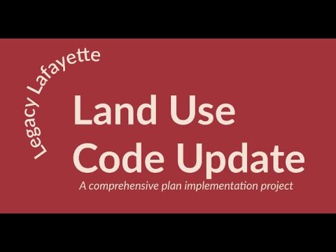
Lafayette is Rewriting its Land Use Code
The City of Lafayette is rewriting its land use code (also referred to as zoning) for the first time in nearly 40 years. The new code will be based on the community's vision for the future, as outlined in the 2021 Legacy Lafayette Comprehensive Plan. Many of the policies and strategies of the plan are best implemented through an overhaul of the City’s development regulations.
The first code was adopted in 1967 and has been amended several times since then (with the last overhaul in 1986.) Because our code no longer aligns with the community's goals or latest planning practices, the rewrite process is now underway, with the goal of adopting the new code in 2024. The new code help ensures that new development is consistent with the community's vision and meets the needs of residents and businesses.
What is a Land Use Code?
A land use code is a set of regulations that govern how land can be used in a city. They are also known as a zoning code. These codes are based on a community vision for the future and are intended to encourage orderly development (typically on private property) and aid in the creation of livable, vibrant communities. A code typically includes regulations like the use, height, and location of buildings, and the location of roads, parks, and other facilities.
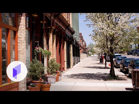
What is a Form-Based Code?
A form-based code is a type of land use regulation that focuses on the physical form and context of development, like the size, shape, and placement of buildings. Form-based codes are particularly effective at promoting walkable, mixed-use communities where people can live, work, and shop within a reasonable walking distance. Form-based codes are an alternative to conventional use-based regulations, which divide a city into different types of uses, prohibiting or encouraging residential, commercial, industrial, or other developments. The use-based approach to zoning often contributes to long distances between residential uses and desired services, which has exacerbated issues like traffic congestion and suburban sprawl. Lafayette currently has use-based regulations in place. However, the city is exploring ways to incorporate form-based elements alongside use-based regulations (i.e., a hybrid code).

-

Phone 303-661-1265 Email philip.kleisler@lafayetteco.gov

-
 A brief video introducing zoning, complete with a Sim City reference!
-
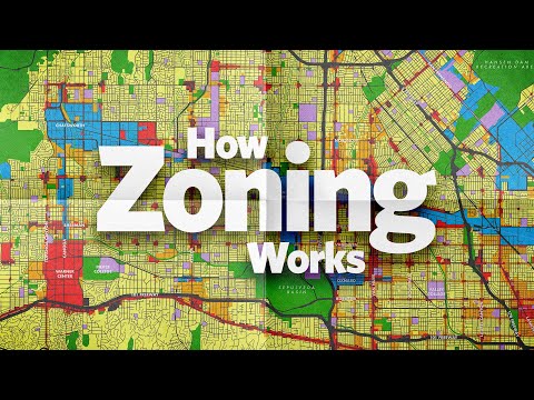 This video, produced by City Beautiful, provides an eleven-minute introduction to zoning. In the video, City Beautiful covers zoning maps, typical zones, the history of zoning and its constitutionality, discrimination through zoning, deed restrictions, and recent trends in R-1 zoning.
-
-

-
-

-
-

-

-

-
-
 Land Use Code - June 2026 Adoption Draft (10 MB) (pdf)
-
 Project Plans and Documents
-
Meeting Summaries
-
Working Group
-
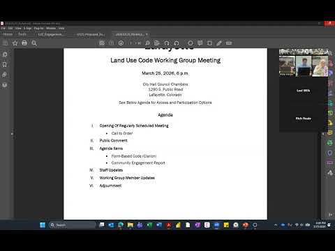
March 25 2026 Working Group Notes (113 KB) (pdf)
-
March 25 2026 Working Group Packet (5.39 MB) (pdf)
-
Jan. 14 2026 Working Group Meeting Packet (1.3 MB) (pdf)
-
Sept 19 2025 Notes.pdf (4.84 MB) (pdf)
-
July 9 2025 Working Group Packet (642 KB) (pdf)
-
July 9 2025 Working Group Notes (101 KB) (pdf)
-
June 11 2025 Working Group Packet (128 KB) (pdf)
-
June 11 2025 Working Group Notes (483 KB) (pdf)
-
May 14 2025 Working Group Notes (1.3 MB) (pdf)
-
Feb. 12, 2025 Working Group Packet (318 KB) (pdf)
-
Feb. 12 2025 Notes (100 KB) (pdf)
-
April 12_ 2023 Working Group Packet (1.42 MB) (pdf)
-
November 13, 2024 Working Group Packet (3.34 MB) (pdf)
-
November 13, 2024 Working Group Notes (99.9 KB) (pdf)
-
May 8, 2024 Working Group Packet (4.9 MB) (pdf)
-
May 8, 2024 Working Group Notes (1.44 MB) (pdf)
-
February 28, 2024 Working Group Packet (21.2 MB) (pdf)
-
July 12, 2023 Working Group Packet (25.2 MB) (pdf)
-
June 14, 2023 Working Group Packet (24.7 MB) (pdf)
-
-
Virtual Open House Information

